Industry
Part of How a coastal itinerary actually gets built, step by step
4 things worth knowing about coastal ferry travel
How to choose bases along a coastal corridor, check a location against flooding maps, and use maritime forest and barrier island geography to your advantage.
What to take away
- Plan coastal ferry travel around two bases, not five. Each move costs half a day you could have spent on the coast.
- Check the landing against coastal flooding scenarios before you book, using a free public mapping tool.
- Island accommodation and mainland accommodation are different products with different risks.
- Choose the base for the mornings, because that is when the coast is worth being on.
- Reserve the crossing before the bed. On the busiest summer routes, car space goes before rooms do.
Two ferry bases, not five
The most common mistake in coastal trip planning is moving every night. Each move costs packing, checkout, driving, check-in and the local knowledge you had just started to build. On a week-long corridor, two bases is usually right and three is the maximum.
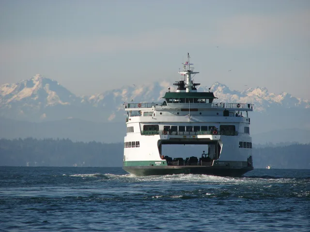
Ferry crossings add a second bill. Washington State Ferries runs ten routes across Puget Sound and carries roughly 20 million riders a year. On the Anacortes to San Juan Islands run, summer vehicle space is the scarce item, not the room.
Two Bases vs Moving Nightly
Two bases
- Packing
- Once
- Local knowledge
- Builds
- Tide watching
- Same water
- Mornings
- On shore fast
Moving nightly
- Packing
- Every day
- Local knowledge
- Resets
- Tide watching
- First impressions
- Mornings
- Lost to travel
Pick each base for its mornings. Somewhere you can be on the shore within twenty minutes of waking is worth more than somewhere with a better restaurant an hour from the water.
Walk-on travel changes the math. Casco Bay Lines runs the crossing from Portland, Maine to Peaks Island in about 15 minutes, and an adult round trip is typically under $10. Cars ride on only a few departures, so most people leave them ashore.
There is a second argument for staying put. A base you return to for three nights lets you watch the same water at different states of tide and in different light. That is how a coastline stops being scenery and starts being a place you understand. Moving nightly gives you a series of first impressions and nothing else.
Long routes work differently. The Alaska Marine Highway System links Bellingham, Washington to Ketchikan in roughly a day and a half at sea. Cabins cost extra and go first, and vehicle space is booked months ahead.
Check the ferry landing before you book
You can do this yourself in about ten minutes. NOAA's Office for Coastal Management publishes a sea level rise and coastal flooding viewer. It is a web mapping tool for visualizing community-level impacts from coastal flooding or sea level rise up to 10 feet above average high tides.
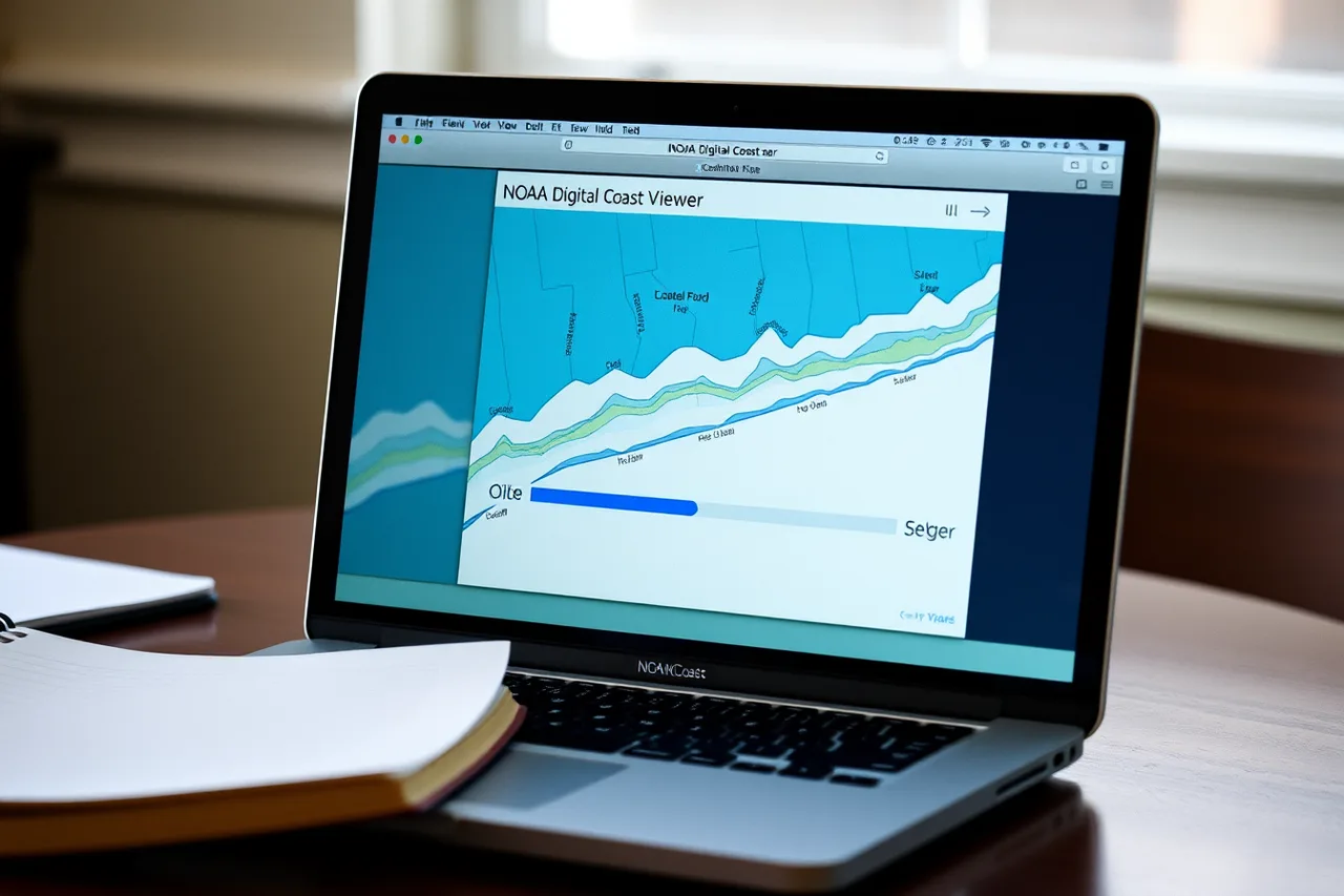
The viewer covers the coastal contiguous United States, Alaska, Hawaii and the territories. It includes photo simulations of how future flooding might affect local landmarks. It also carries data on water depth, connectivity, flood frequency and mapping confidence, plus socio-economic vulnerability, wetland loss and migration.
Note it excludes the Great Lakes. Used sensibly, it tells you whether a waterfront property sits somewhere that a modest rise in water level would isolate, which is a fair question to raise with a host before paying.
A ferry landing sits at water level, so the road out of it is the part worth checking. North Carolina's Ocracoke, Rhode Island's Block Island and Washington's San Juan Islands all take their supplies by boat. Ask the host how that road behaves in a storm.
The island landing or the mainland one
Barrier islands hold some of the most appealing accommodation on the U.S. coast and some of the most exposed. Behind the beach and dunes on many of them sits maritime forest, which NOAA describes as shoreline habitat growing along coastal barrier islands supporting a great diversity of plants and animals.
There, trees, bushes and other plants withstand strong winds, periodic flooding and salt spray, and thousands of birds arrive on migration each year. Currituck Banks Reserve on North Carolina's Outer Banks is given as an example.
That description contains the trade-off. Forest behind the dune means shelter, wildlife and quiet. Periodic flooding means access roads that occasionally do not work. Ask the host what the winter looks like.
State-run ferries are the cheap seats. North Carolina's Department of Transportation runs the Outer Banks crossings, and the Hatteras to Ocracoke run takes about an hour. Vehicle fares are typically under $25 for a car, and walk-on passengers often ride free.
The car carriers change the arithmetic. The Steamship Authority is the only year-round ferry that takes vehicles to Martha's Vineyard and Nantucket, and it releases summer vehicle space in January. Walk-on passengers almost always get a seat.
Shorter commercial crossings are easier to plan around. Cape May-Lewes Ferry covers 17 miles of Delaware Bay in about 85 minutes, and a car and driver typically pays $50 to $60 in summer.
The Block Island Ferry from Point Judith takes about an hour on the traditional boat and 30 minutes on the fast one. Adult round trips typically run about $30 and about $50.
Mainland bases trade that atmosphere for reliability. You lose the sound of surf at night and gain a road that works, a supermarket, and somewhere to go when the crossing is canceled.
On a first coastal trip that is usually the better bargain. Add one island or barrier-island night deliberately rather than by default.
A ferry base checklist
Check / Why
- Distance to the shore on foot
- Decides whether you use the mornings
- Access road elevation
- Decides whether you can leave
- Food open out of season
- Decides whether you eat
- Cancelation terms
- Decides what a lost day costs
- Distance to the nearest crossing
- Decides the shape of the days
- Walk-on or vehicle
- Decides the fare and the booking window
- First and last sailing of the day
- Decides how late you can stay out
- Terminal parking cost
- Decides whether the car comes at all
Then place the bases along the corridor built with our coastal itinerary process, and compare the island option using our notes on where to stay when island-hopping.