Guides
Part of How a coastal itinerary actually gets built, step by step
A two-day coastal plan that adapts to any shoreline you find
A portable two-day coastal plan built on the four intertidal zones and honest tide timing, adaptable to a rocky ledge, a sandy beach or a mudflat.
What to take away
- The intertidal zone is not one habitat but four, and each rewards a different hour of the day.
- Tide timing is not set by the moon being overhead, so use the published predictions rather than intuition.
- Two days lets you see the same shoreline at both extremes of water, which is the whole point.
- Adapt the structure to the shore you have: ledge, beach or mudflat.
The zones you are actually walking through
Shoreline structure enriches a coastal itinerary. NOAA divides the intertidal zone, the ground between high and low tides, into four physical bands.
Four intertidal zones compared
Spray zone
- Water cover
- spray and waves
- Life found
- spray-tolerant
- Access window
- any time
- Risk level
- low
High intertidal
- Water cover
- daily high peaks
- Life found
- barnacles, mussels
- Access window
- any time
- Risk level
- low
Middle intertidal
- Water cover
- twice daily
- Life found
- sea stars, anemones
- Access window
- twice daily
- Risk level
- moderate
Low intertidal
- Water cover
- almost always
- Life found
- mostly marine
- Access window
- low water only
- Risk level
- high
The spray zone is dampened by ocean spray and high waves. The high intertidal zone floods at peaks of daily high tides and stays dry for long stretches between them, holding hardy life: barnacles, marine snails, mussels, limpets, shore crabs.
The middle intertidal zone is covered and uncovered twice a day and supports a wider range of plants and animals, including sea stars and anemones. The low intertidal zone is almost always underwater.
That structure is your itinerary. Day one you walk the upper bands. Day two, at low water, you reach the lower ones. The same hundred meters of shore is a different place.
It also tells you where to be careful. The bands that are almost always underwater are the ones you can only reach for a short window, and they are the ones people get caught on. Treat the low intertidal zone as borrowed ground with a deadline rather than as a beach that happens to be wet.
Do not trust intuition about tide timing
Many people assume high tide arrives when the moon is overhead, but NOAA says that is wrong. The moon and sun cause tides, but their gravitational pull does not dictate when high or low tides occur.
Tide timing varies by location
1 hour
difference between neighbouring bays twenty miles apart
look up predicted times for your exact location
moon overhead does not mean high tide
Tides start in the ocean and move toward coastlines, while regional forces control the timing, often because of Earth's geography and shape.
The practical version: look up the predicted times for your specific location. A neighboring bay twenty miles away can be an hour different. In the United States, NOAA Tides & Currents is the place to find your local tides: pick the region on its station map, open the station nearest your shore, and note the predicted low and high water for both days of the trip.
The two-day structure
Day one
- Early
- Travel and arrive
- Midday
- High-water viewpoint or boat trip
- Afternoon
- Upper shore and dune walk
- Evening
- Check tomorrow's tide times
Day two
- Early
- Low-water shoreline walk
- Midday
- Village, museum, food
- Afternoon
- Second shoreline at a different state
- Evening
- Travel or stay
The one fixed element is the low-water walk. Everything else moves around it.
A worked example: an island shore by ferry
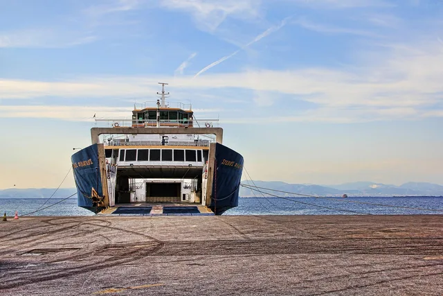
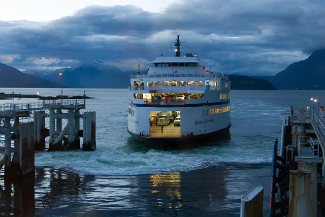
Here is how the structure fits a shoreline you reach by boat. The Maine State Ferry Service runs the Swan's Island ferry, the M/V Captain Henry Lee, on a crossing between Bass Harbor and Swan's Island; the Maine Department of Transportation gives the crossing as 6 miles and 40 minutes, and publishes the schedule and a sign-up for ferry cancellation alerts.
- Evening before day one.Look up the predicted tides for the nearest station on NOAA Tides & Currents and the ferry schedule for both days. Sign up for the cancellation alerts.
- Day one.The crossing is the midday boat trip in the table. Use the afternoon for the upper shore while the water is up.
- Day two.Put the low-water walk where the tide prediction puts it, then choose the sailing back that leaves a wide margin after the water turns.
If the low water falls too close to the last sailing you would catch, shift the dates rather than squeeze the walk. The same steps work for any shore reached by a scheduled boat.
Adapting it to your shore
- Rocky ledge.Best for tide pools. Bring grip, go carefully, and keep an eye on the returning water.
- Sandy beach.Best for long walking and bird activity at the water's edge. Low water roughly doubles the walkable width.
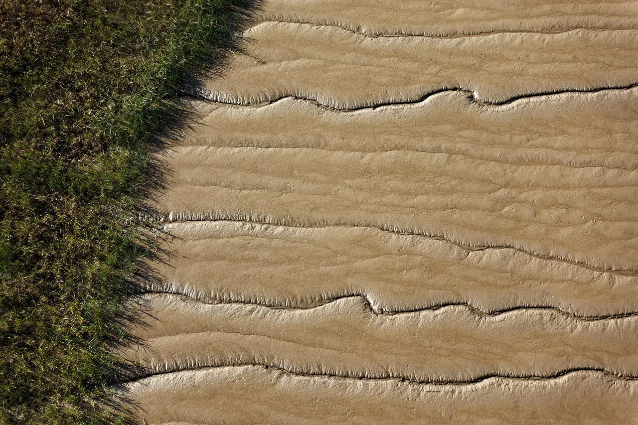
- Mudflat.Best for birds and enormous skies, and the most dangerous underfoot. Stay on marked routes and take local advice seriously: posted signs, park rangers and the harbormaster know where the soft ground is.
- Mixed shore.Do the rock at low water and the sand at any state.
Fitting it into a longer route
This two-day block is a module. Drop it into a longer corridor built with the method in our step-by-step coastal itinerary guide, "How a coastal itinerary actually gets built, step by step", or run the island version of the same idea from our two-day island itinerary, "Building a two-day island trip around the tide, not the clock".