Guides
How a coastal itinerary actually gets built, step by step
A repeatable process for building a coastal route: define the corridor, anchor it to observation data, place the crossings, then leave room for weather.
What to take away
- Build a coastal itinerary as a corridor with anchors, not as a list of places you would like to see.
- The U.S. shoreline is far longer than most people assume, so narrowing the corridor is the first real decision.
- Free observation networks give you water temperature, water level, currents, wind and waves for the whole corridor.
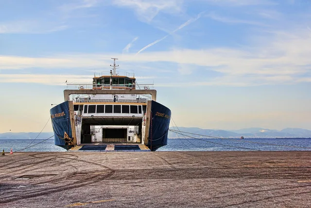
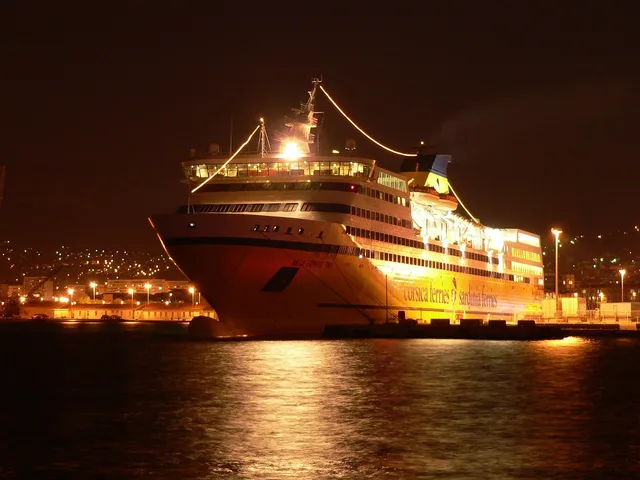
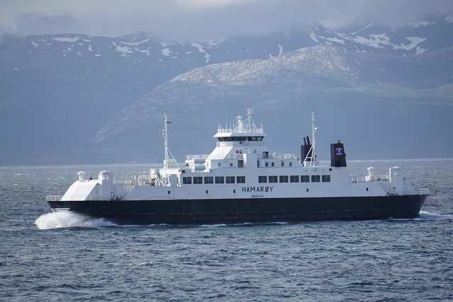
- Place ferry crossings first, because they are the least flexible parts of the plan.
Step one: pick a corridor, not a country
Solve the scale problem first, because NOAA's official figure for the total length of the U.S. shoreline is 153,646 kilometers, or 95,471 miles. The page is candid: no reference designates one legal shoreline, so the number varies with the definition used.
U.S. shoreline: 95,471 miles
95,471 miles | official NOAA shoreline figure
153,646 km | same figure in kilometers
Varies with definition | no single legal shoreline
Counts creeks to head of tidewater
That measurement counts outer coast, offshore islands, sounds and bays, and rivers and creeks. It follows them inland to the head of tidewater or to where tidal waters narrow to about 100 feet.
A shoreline that includes every creek to the head of tidewater is not something you plan across. Choose a corridor you could drive in a day, then plan inside it.
Step two: anchor the corridor
An anchor is something that will not move: a ferry crossing that runs twice a day, a reserve open only on certain days, a tide-dependent walk, a booked bed. List the anchors before anything else, in date order. Everything else in the itinerary is filler between anchors, and filler is easy to change.
Anchors per day
- Two anchorscomfortable
- Three anchorsa schedule
- Four anchorsa coach tour
Write next to each anchor how much it would cost to lose it. Some anchors are a nice afternoon and can be dropped without consequence. Others are the reason for the trip or carry a non-refundable payment.
Marking that difference at the planning stage lets you make a fast, calm decision on a morning when the forecast has changed.
Step three: pull the conditions data for the whole corridor
Rather than checking one town, view the corridor as a unit: the U.S. Integrated Ocean Observing System is a coordinated network of people and technology.
It compiles and distributes data on coastal waters, the Great Lakes, the oceans. It gathers water temperature, water level, currents, winds, waves via satellites, buoys, tide gauges, radar stations, underwater vehicles; most streams publicly.
Looking at a corridor rather than a point tells you something useful: whether conditions vary a lot along it. A corridor with big internal variation gives you options on a bad day. A uniform one does not.
Step four: place the crossings, then the rest
| Order | What you place | Why it goes here |
|---|---|---|
| 1 | Ferry crossings | Fewest departures, least flexible |
| 2 | Tide-dependent activities | Fixed by the water |
| 3 | Beds | Follow the crossings |
| 4 | Bookable activities | Follow the beds |
| 5 | Everything else | Fills the gaps |
Reverse this order and you will spend the trip driving to catch boats.
Step five: build the bad-weather version
Write a second, shorter itinerary that assumes one crossing does not run. Name the alternative for each anchor: the indoor thing, the mainland walk, the drive-around. It takes fifteen minutes and it is what stands between a changed plan and a lost day.
Then check the whole route once more against the underlying trip logic in our practical U.S. ferry travel guide, and fill the gaps with the kinds of place listed in our ferry-reachable stops for a longer trip.
Common questions
How long should a coastal corridor be?
How many ferries in one itinerary?
Should I book the whole thing in advance?
What if the corridor has no ferries at all?
In this guide
- A two-day coastal plan that adapts to any shoreline you findA portable two-day coastal plan built on the four intertidal zones and honest tide timing, adaptable to a rocky ledge, a sandy beach or a mudflat.
- First-visit lessons for anyone building a coastal itineraryFirst-visit advice for coastal route planning: what a spring tide really is, how to read rip currents, and the habits that keep a first trip enjoyable.
- 4 things worth knowing about coastal ferry travelHow to choose bases along a coastal corridor, check a location against flooding maps, and use maritime forest and barrier island geography to your advantage.
- What coastal itinerary building businesses should postA daily posting checklist for coastal itinerary building businesses: tide times from NOAA, the ferry operator's sailing times, openings, and safety notes.
- Coastal itinerary building booking: 3 questions, free toolsCoastal itinerary building booking needs three questions for every supplier, plus free tools from the NWS and NOAA for reading sea state and water levels.