Reviews
Which walk-on ferry routes suit which travelers in 2027, in plain terms
How to match a walk-on ferry route to the traveler: exposure, crossing length, terminal access, and what the chart tells you that a map cannot.
What to take away
- Match the route type to the traveler firstfrequent harbor shuttle, sheltered sound crossing, long lake or inland run, open-water island run.
- Walk-on travel removes the car problem and adds a walking problem. Judge the terminal and the landing.
- Exposure beats distance. A short hop into open water is rougher and less reliable than a long run inside shelter.
- Book ahead on seasonal, low-frequency or holiday-heavy routes. The last sailing fills first.
- Decide in advance what you will do if that last sailing is canceled or full.
Four route types, matched to travelers
Named example
- Frequent harbor shuttle
- Staten Island Ferry, Whitehall to St. George
- Sheltered sound crossing
- Casco Bay Lines, Portland to Peaks Island
- Long lake or inland run
- Lake Express, Milwaukee to Muskegon
- Open-water island run
- Island Packers, Ventura to Channel Islands
Typical crossing
- Frequent harbor shuttle
- About 25 minutes
- Sheltered sound crossing
- About 20 minutes
- Long lake or inland run
- About 2.5 hours
- Open-water island run
- About 1 hour
Typical frequency
- Frequent harbor shuttle
- Roughly every 30 minutes, day and night
- Sheltered sound crossing
- Several sailings a day, more in summer
- Long lake or inland run
- A few round trips a day, in season
- Open-water island run
- One or two departures a day, season dependent
Best for
- Frequent harbor shuttle
- Families, first-timers, tight schedules
- Sheltered sound crossing
- Most travelers, most of the year
- Long lake or inland run
- Travelers who want the crossing to be the trip
- Open-water island run
- Confident travelers with a spare day
Times and frequencies above are typical ranges and shift by season. Confirm them on the operator's own timetable before booking.
Route types and who they suit
Frequent harbor shuttle
- Suits
- Families, tight schedule
- Weak point
- Little journey feel
Sheltered bay crossing
- Suits
- Most travelers
- Weak point
- Terminal far from town
Open-water island run
- Suits
- Confident, spare day
- Weak point
- Cancelations, motion
Seasonal route
- Suits
- Off-season quiet
- Weak point
- No fallback
That table is the short answer. Find your row, then check the named route for the day you plan to travel.
Example: four routes that behave differently
Staten Island Ferry. Free to ride, no ticket, running around the clock between Whitehall in Manhattan and St. George on Staten Island. The crossing takes about 25 minutes. The NYC Department of Transportation confirms the free fare and lists both terminals.
Casco Bay Lines. Peaks Island sits about 20 minutes from downtown Portland, Maine, with several sailings a day and more in summer. Both ends are step-on, step-off. This is the pattern most families want: short, sheltered and repeatable.
Lake Express. Milwaukee to Muskegon across Lake Michigan takes about two and a half hours by catamaran, with a few round trips a day in season. The crossing is the trip. Bring something to do.
Island Packers. Ventura to Channel Islands National Park runs roughly an hour over open water, often with one or two departures a day. Book ahead and hold a spare day. Match the season with our seasonal guide to walk-on ferry routes, which tracks Pacific storm cycles rather than calendar dates.
Exposure beats distance
NOAA defines a bight as a long, gradual bend in the shoreline forming a large open bay, and the Southern California Bight is the water Island Packers crosses to reach the Channel Islands.
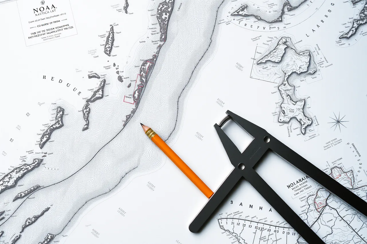
A coastline that looks gently curved on a road map can be shallow, exposed water on a chart. A nautical chart carries depths, obstructions, tide predictions and navigational aids. A road map shows landforms and little else.
Five minutes with a chart of your route explains why the boat takes the line it does. It also shows why the direct-looking line is not the one the captain sails.
Where a sheltered option exists, take it. Washington State Ferries runs Seattle to Bainbridge Island in about 35 minutes, with departures most hours of the day, and it publishes walk-on fares separately from vehicle fares. The walk-on fare is the number to compare against a road trip.
Then price the whole day, not the ticket. Our breakdown of what a ferry day really costs covers the taxi, the locker and the meal that sit outside the fare.
Terminal access decides whether a walk-on day works
Check these before you book:
- Walking time from the landing to the town, trailhead or beach.
- Whether the road out of the terminal has a sidewalk or only a shoulder.
- Shelter, toilets and drinking water at the island terminal.
- Whether your return sailing uses the same vessel and the same landing.
- Bike space, and whether it can be reserved.
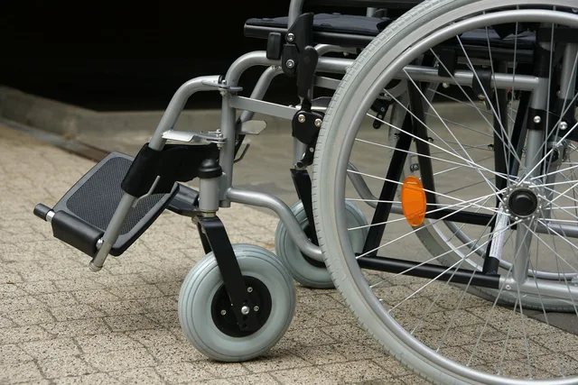
Access needs change the answer. Fixed ramps, level gangways and a short walk at each end matter more than crossing length for many travelers. Our lessons on accessible walk-on ferry routes cover the ramp and boarding details.
When the last boat is canceled or full
- Ask at the ticket window which sailings on your date are already full. Seasonal boats have small numbers.
- Write down the fallbacka second operator, a water taxi, or a room for the night.
- Check the rebooking rule before you need it, and keep your booking reference on paper as well as on your phone.
- Set a cutoff sailing. Miss it, and move to the fallback instead of queueing for a standby place you may not get.
On the Staten Island Ferry this is a non-issue, because the next boat runs around the clock. On a once-a-day island run it is the whole risk. Our practical U.S. ferry travel guide sets out the order to plan in.
Common questions
Is a walk-on ticket always cheaper?
Do walk-on passengers need to book?
What is the biggest risk?
Which route type should I pick first?
In this guide
- Walk on ferry routes: time a crossing around storm cyclesWalk on ferry routes: time your crossing around ENSO cycles, fast-deepening winter storms, and the reduced-service timetable that sets the dates.
- Walk-on ferry routes packing list: names, dates and context as of 2027A walk-on ferry packing list for named 2027 routes, from Maine's Casco Bay to the Alaska Marine Highway, built around what one person can carry alone.
- Walk-on ferry costs: what to keep and what to drop in 2027Walk-on ferry fares in 2027 run a few dollars to about thirty, and the shuttle bus transfer or taxi you skip or keep decides the real total.
- Local guides along a walk-on ferry route, and how to test themWhere to find maritime heritage guides on a ferry route, how to test their knowledge, and how historical charts turn a crossing into a story.